Topo50 is the official topographic map series used by New Zealand emergency services.
The Topo50 map series provides topographic mapping for the New Zealand mainland and Chatham Islands at 1:50,000 scale.
$ 66.41
$ 86.33
$ 66.41
$ 86.33
Topo50 is the official topographic map series used by New Zealand emergency services.
The Topo50 map series provides topographic mapping for the New Zealand mainland and Chatham Islands at 1:50,000 scale.
$ 78.21
$ 60.16
$ 64.99
$ 24.99
$ 58.05
$ 30.00
$ 56.65
$ 43.58
$ 65.42
$ 50.32
$ 83.55
$ 64.27
$ 75.76
$ 58.28
$ 88.79
$ 68.30
$ 47.00
$ 30.00

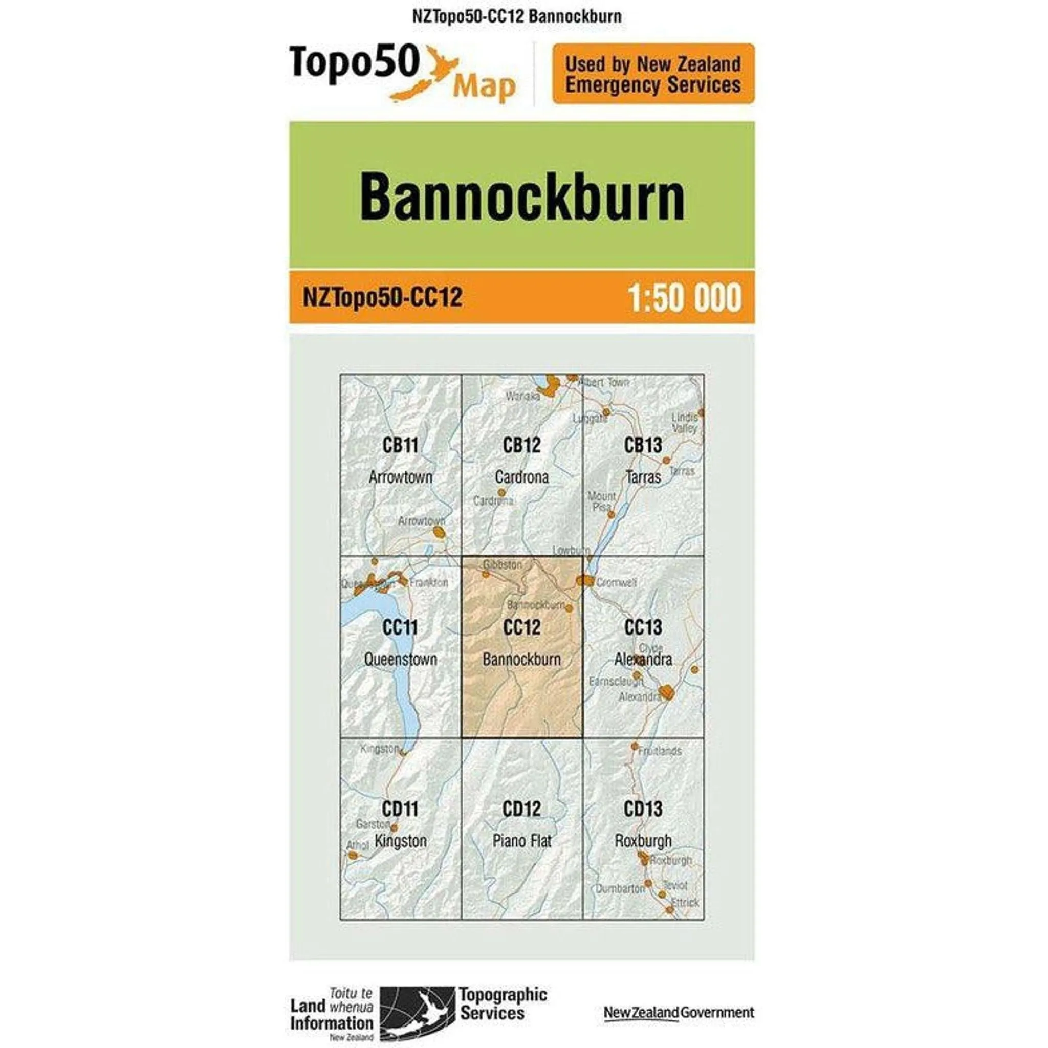
Topo Map 50 Bannockburn CC12
$86.33


