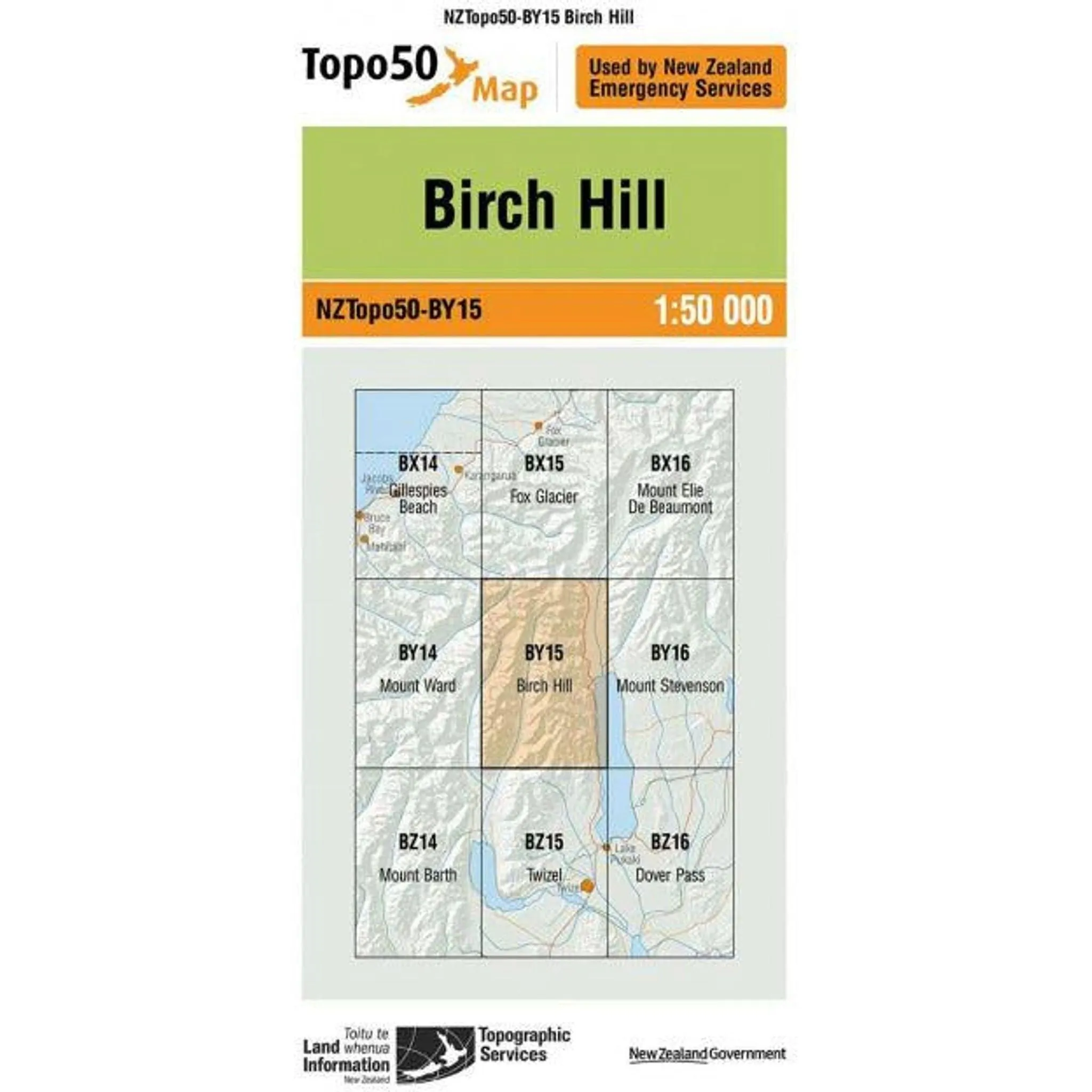
The Topo Map of Birch Hill, NZ, offers a detailed depiction of the terrain, showcasing elevation through contour lines and highlighting geographical features like hills, valleys, and water bodies. It likely includes markers for vegetation, roads, trails, and man-made structures, serving as an essential resource for hikers, geologists, and cartographers interested in exploring or studying Birch Hill's landscape with precision and accuracy.

")

")


